
Arrive at the starting point
Use the Google Maps button for arrival only. It takes you to the starting point, not through the full quad route.

GPS route preview
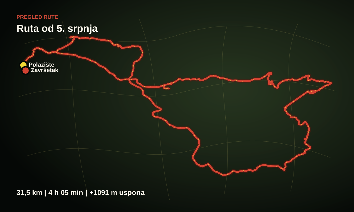
A preview of the recorded GPX track with distance, duration and downloadable files for a navigation app. The exact time, vehicle and pickup instructions are confirmed before the ride.
Route map
The red line shows the recorded route. Use Google Maps to reach the starting point. To follow the route, import the GPX file into calimoto, or open the GPX or KML file in OsmAnd.
Use the Google Maps button for arrival only. It takes you to the starting point, not through the full quad route.
The map helps you understand the direction, length and area covered before the ride.
Download the GPX file for calimoto. OsmAnd can open GPX and import KML. Check the full track after importing it because a navigation app may interpret parts of the route differently.
Before departure
This page shows a preview of the recorded GPS track. Before rental, we confirm availability, departure time, number of riders and practical pickup instructions.